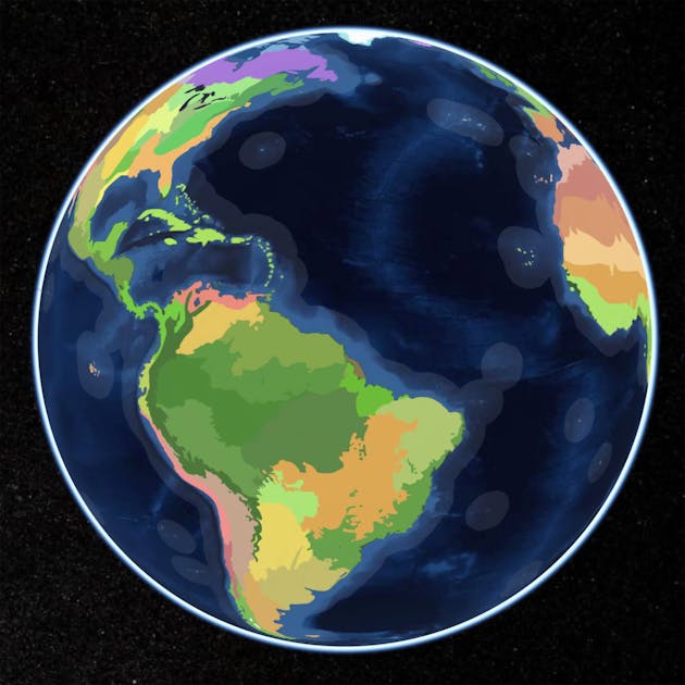
If Nature were to draw a map of the world, what would it look like? One Earth presents a novel biogeographical framework called Bioregions 2023, which delineates 185 discrete bioregions organized within the world's major biogeographical realms.
Thanks for link (end with /intro to make it work). I’m contemplating such maps for the purpose of defining a ±1000 region set for an interactive integrated assessment type model running timescale ±1750-2250 - so it needs to span multiple dimensions - political, demographic, climatic, landuse/ecosystems, for multiple end-purposes - for example exploring climate -migration - socio feedbacks, including being able to represent both historical and future changes, (although not such long timescale as PAGES).
That’s an end goal of many organisations like PAGES, I believe. We’re still trying to figure out those bits. Trends are going that way. We have data, the problem is now, how do we link it all.


Not mine, but there was a project already doing something similar. https://pastglobalchanges.org/science/wg/former/landcover6k/ there’s likely newer groups on there doing stuff too.
Thanks for link (end with /intro to make it work). I’m contemplating such maps for the purpose of defining a ±1000 region set for an interactive integrated assessment type model running timescale ±1750-2250 - so it needs to span multiple dimensions - political, demographic, climatic, landuse/ecosystems, for multiple end-purposes - for example exploring climate -migration - socio feedbacks, including being able to represent both historical and future changes, (although not such long timescale as PAGES).
That’s an end goal of many organisations like PAGES, I believe. We’re still trying to figure out those bits. Trends are going that way. We have data, the problem is now, how do we link it all.
https://www.google.co.uk/books/edition/Thinking_Big_Data_in_Geography/gIlQDwAAQBAJ?hl=en