
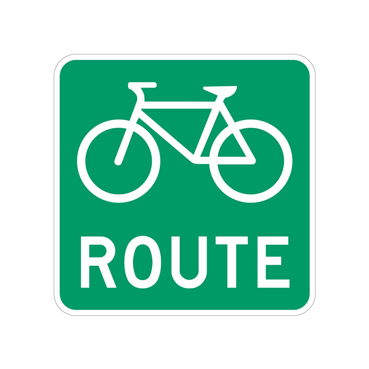
We have bike routes all over, and they are signed with something as shown.
But most of these will have a bike lane or sharrows along with the Bike Route signs.
However, I ran into one road that doesn’t, it’s just signed.
What’s the best way to tag these roads? I don’t want to cause confusion, but these unpainted (but signed) roads do actually lead to/from better cycling infrastructure, so they should be known.
UPDATE: Thanks for all the input, guys. Having looked into this further, I’m comfortable using the designated tag, at least for this specific road.
My municipality is a bit bipolar with their application of these signs. Most are signed as bike routes with toad markings, but a few are signed only.
Because these “bike routes” connect to more significant cycling infrastructure, I think its more than valid to tag them as “designated” as opposed to “yes” (which would be pretty much every road).
To add even more confusion to the situation, the official Cycling infrastructure map for my municipality seems to not include several areas that have both bike route signs and road markings, so i will ask them if the data is just lagging or if it needs to be updated.
So, unless there’s a critical reason why the “designated” tag shouldn’t be used in this context, I will leave it at that.
bicycle=designated
bicycle=designated
If that’s the case, here’s another complication 😱
I’ve looked at over a dozen of the previously mapped, signed AND painted/separated bike lanes/tracks in the area, and they are all set to bicycle=yes. None are bicycle=designated.
What potential issues would come up if I’m only assigning this one bit of road as bicycle=designated. Like, will it look different on the cycleOSM layer, or will it cause differences in bike navigation routing?
bicycle=yes just means that bicycles are allowed. Most places bicycles are allowed on all the roads.
bicycle=designated means basically that it has been marked as intended for bicycles. Could be a sign or a map or whatever.
I don’t think it would cause any problems. The cycle maps generally use that information although I can’t speak to routing software specifically.
Does this mean exclusively for bikes? Because it sounded from OP like this is not the case.
I’m not sure about
bicycle=designatedin this case. From the wiki page that you linked:Note that signed bicycle route is not something that makes road explicitly designated for use by cyclists and there are cycleways without any signed bicycle route.
Yeah that comment is wrong. I have no idea why it would say that.
Edit: perhaps it is a typo or autocorrect for “designed” meaning that it may or may not be built for bicycles.
The general access=designated may be a better description.
Judging from the confusion and guessing in the comments, it’d probably be best if you posted a link to the area you’re asking about.
ETA based on your description of the road in question, I’d suggest
cycleway=noto indicate that there is no explicit cycling infrastructure on that stretch of road,bicycle=yesto indicate that bicycling is allowed on that stretch of road, and tag that stretch of road as a member of the bicycle route relation.Not sure if I get it really, they are part of an actual route? I think this would be it then?
https://wiki.openstreetmap.org/wiki/Cycle_routes
That I believe is to mark an actual route, independent on whether it’s going along cyclepaths or whatever.
Its worrying to me that there are different proposed solutions to the question by OP. bicycle=designated And cycle routes (ncn=yes and so on)
Isnt a problem that there are two ore more ways to achieve the same thing?
I think it comes down to accuracy, which is what when adding any content to OSM.
Cycle Routes may have different meaning depending on the location. My municipality seems to mark roads that link to cycling infrastructure as cycling routes, even if they aren’t part of the cycling network (which are considerably more vast and usually expand across multiple municipalities, provinces, or even the country. I think to use “cycle route” for this specific example isn’t accurate.
“bicycle=designated” has been all over the place from examples I’ve been looking at spanning 100km in either direction. Some mappers seem to only use the “designated” tag on bike paths, while others use them on roads with simple bike lanes. But there’s a lack of consistency, so it’s hard to know who’s right in these situations.
For me, it makes a lot more sense to use the “designated” tag here, instead of “bicycle=yes” (which applies to 99% of the roads here), or the cycle route tag.
At the end of the day, I think most (i.e. non-mappers) are interested in how the data actually works for them. For example, can they see this cycling infrastructure on their bike computer, or does it still appear as a regular road because the tags aren’t specific enough? To me, that would be more problematic than a “somewhat accurate” tag. But that’s my opinion.